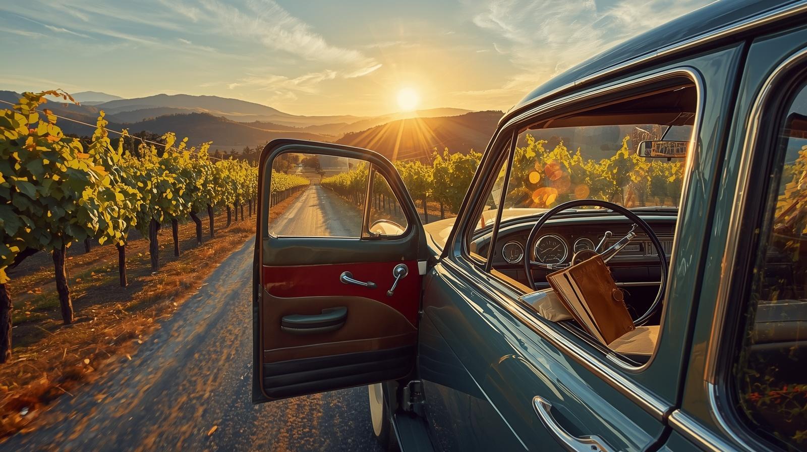
Before GPS rerouted every wrong turn, Napa Valley was learned by feel.
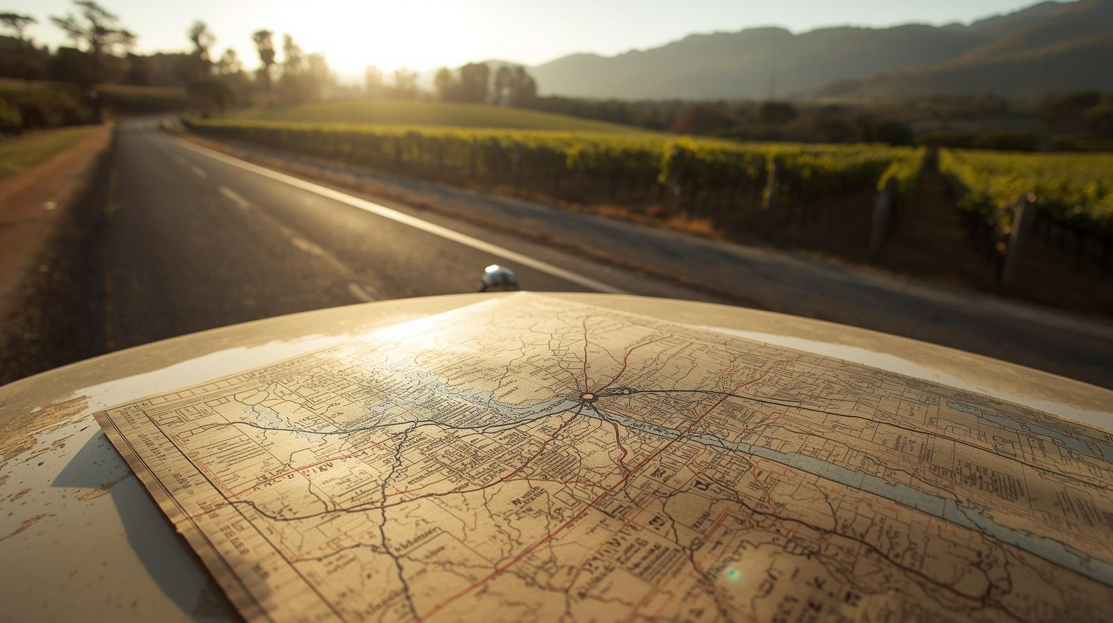
You pulled over on the shoulder of Highway 29 just north of Yountville, unfolded a creased Napa Valley map across the hood, and circled Rutherford with a pen. Someone at Model Bakery in St. Helena had told you, “If you’re heading north, turn left at Zinfandel Lane. Don’t miss that one.”
That is how this valley used to move. Word of mouth. Paper. Landmarks.
Even now, when everything is searchable, analog travel Napa style feels right here. This valley is only about 30 miles long and 5 miles wide, bordered by the Vaca Range to the east and the Mayacamas to the west. It rewards people who notice rather than people who refresh.
I grew up learning Napa from the passenger seat. My reference points were not digital pins. They were the old red barn near Oakville Cross Road, the curve in Silverado Trail where the morning fog hangs low, and the way the western hills turn amber just before sunset.
Napa Valley maps still work here. So do notebooks.
What This Experience Is Really About
Analog travel Napa is not anti-technology. It is pro-awareness.
When you rely on a paper guide Napa Valley experience, you begin to notice:
- The temperature drop as you descend into Carneros near San Pablo Bay
- The shift from darker valley floor soils to gravelly Rutherford benchland
- The way Oakville Cross Road subtly rises as it approaches the Mayacamas foothills
- The absence of sprawl because of the 1968 Agricultural Preserve
The valley’s zoning decisions shape the view you are looking at. That uninterrupted stretch of vineyard between Yountville and St. Helena exists because the community protected it.
When you trace Highway 29 with your finger, you are tracing decades of intentional restraint.
A Short Personal Story
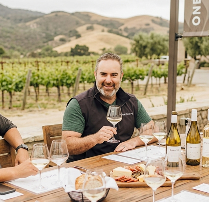
I keep a worn leather notebook in my office. Inside are handwritten pages from vineyard walks, harvest reflections, and early hosting ideas for Estate 8.
Years ago, after a dusk drive along Silverado Trail, I wrote one simple line:
“Light hits Rutherford differently after 5:30.”
That observation eventually shaped how I thought about gathering people and timing experiences. I am biased. Estate 8 is my baby. But some of the most important decisions I have made here started as ink on paper, not as a calendar invite.
Writing slows you down. And in Napa, slowing down is how you see clearly.

The Geography of the Folded Map
1. Carneros: The Southern Threshold
Carneros feels like an entryway. The wind off San Pablo Bay cools the vines. Chardonnay and Pinot Noir thrive here because of that maritime influence.
Analog activity:
Drive Highway 12 toward the marshlands. Pull over safely and sketch the horizon. Notice how open the sky feels compared to mid-valley.
This is Napa’s natural air conditioner.
2. Yountville: The Walkable Corridor
Washington Street is compact and deliberate. Boutique hotels, tasting rooms, and restaurants sit within easy walking distance.
Analog ritual:
Order coffee at Bouchon Bakery. Leave your phone in your pocket. Write down the smell of yeast, the scrape of chairs on stone, the morning light reflecting off limestone façades.
This is slow travel Napa in practice.
3. Rutherford and Oakville: The Benchland Pages
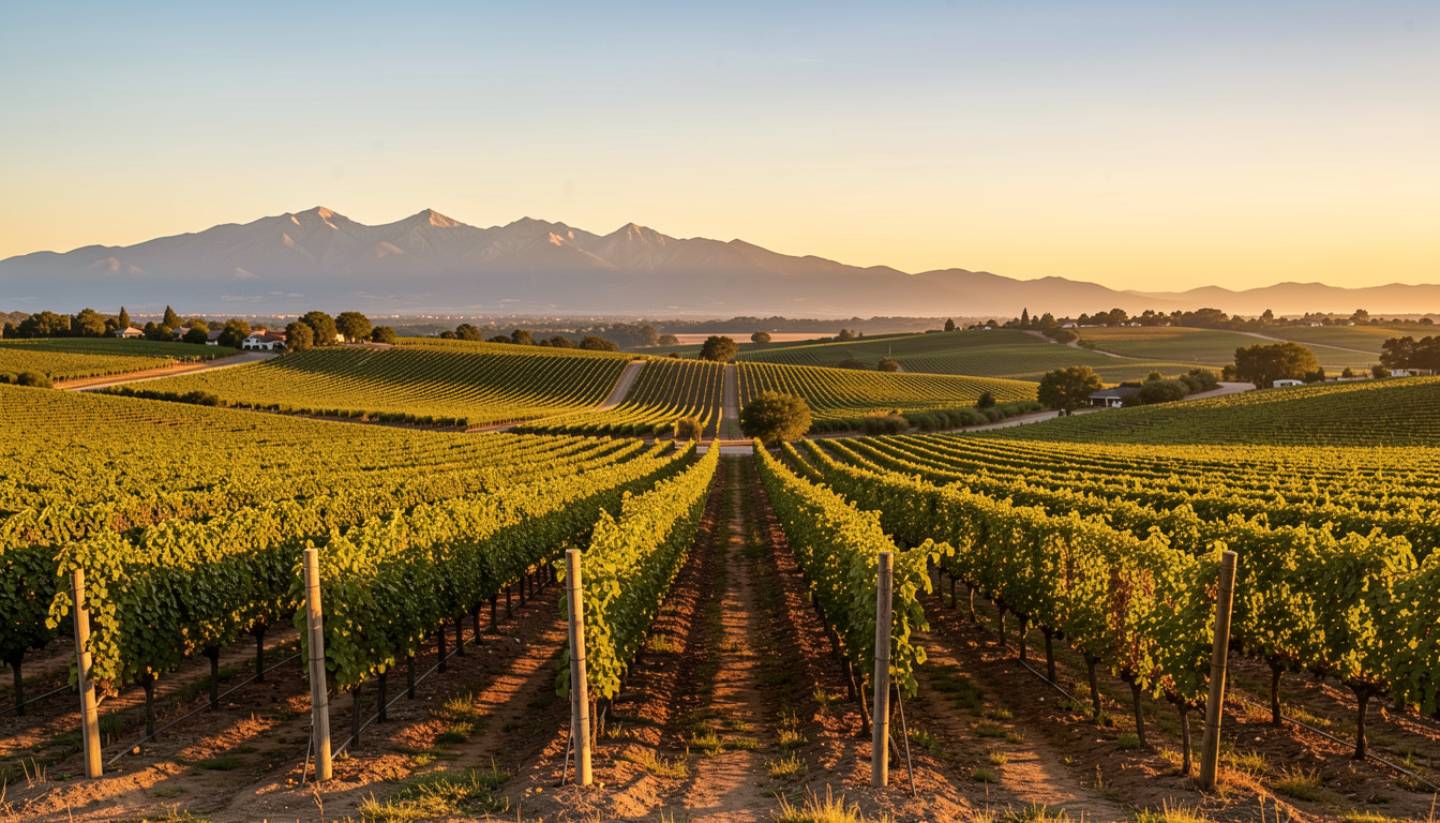
These are the heart of Cabernet country. The western benchlands, between Highway 29 and the Mayacamas, are where drainage and gravel shape structure in the glass.
Directional cue:
Drive Oakville Cross Road from Silverado Trail toward Highway 29. Feel the subtle elevation shift as you approach the foothills.
Mark it in your Napa travel journal. Elevation matters here.
4. St. Helena: The Agricultural Backbone
St. Helena still feels like a farming town that happens to host world-class wineries.
Analog move:
Walk Main Street. Step into an independent bookstore. Pick up a historic walking guide. Visit Model Bakery and write about the texture of their English muffins instead of photographing them.
Heritage lives in details.

5. Calistoga: The Reflective North
Past Lodi Lane, the valley narrows. The air warms. Calistoga feels geothermal and slightly wilder.
Analog moment:
Sit near the historic depot or at the edge of a mineral pool. Write about what this valley must have felt like when travelers arrived by rail instead of rideshare.
The past feels closer up here.
A Three Day Analog Itinerary
Day One: Orientation
Morning
Spread your Napa Valley map out in Downtown Napa near the Oxbow District. Trace Highway 29 and Silverado Trail. Understand the layout before you drive.
Midday
Head north without navigation. Follow physical signs. Stop when something feels interesting.Evening
Write three observations before dinner in Yountville. Not what you did. What you noticed.
Day Two: Depth
Morning
Walk vineyard rows near Rutherford at sunrise. Note the temperature, the silence, the direction of light.
Midday
Lunch in St. Helena. Record the name of the server and one detail about the room.Afternoon
Drive Silverado Trail slowly. Notice the lack of commercial development. That continuity is policy made visible.
Day Three: Reflection
Morning
Visit one winery in Oakville. Take handwritten tasting notes instead of photos.
Afternoon
Drive north to Calistoga. Write about the shift in landscape from valley floor to narrower corridor.Evening
Close the notebook. Sit quietly. Let memory settle without documentation.
What Most Visitors Miss
When everything is digital, experience becomes compressed.
Analog travel Napa expands it.
Without a screen, you notice:
- Harvest trucks moving slowly during Crush
- Spanish language radio drifting from vineyard rows
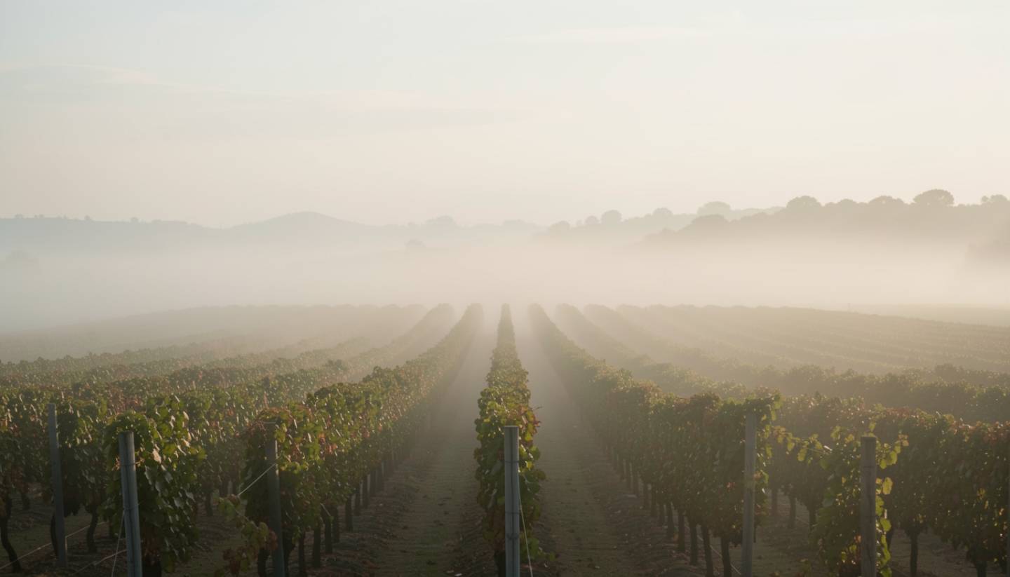
- The exact point where fog lifts off the Napa River
- How the Mayacamas catch the last light before the Vaca Range
You begin to understand orientation. North. South. West. Light. Soil.
That awareness builds connection.