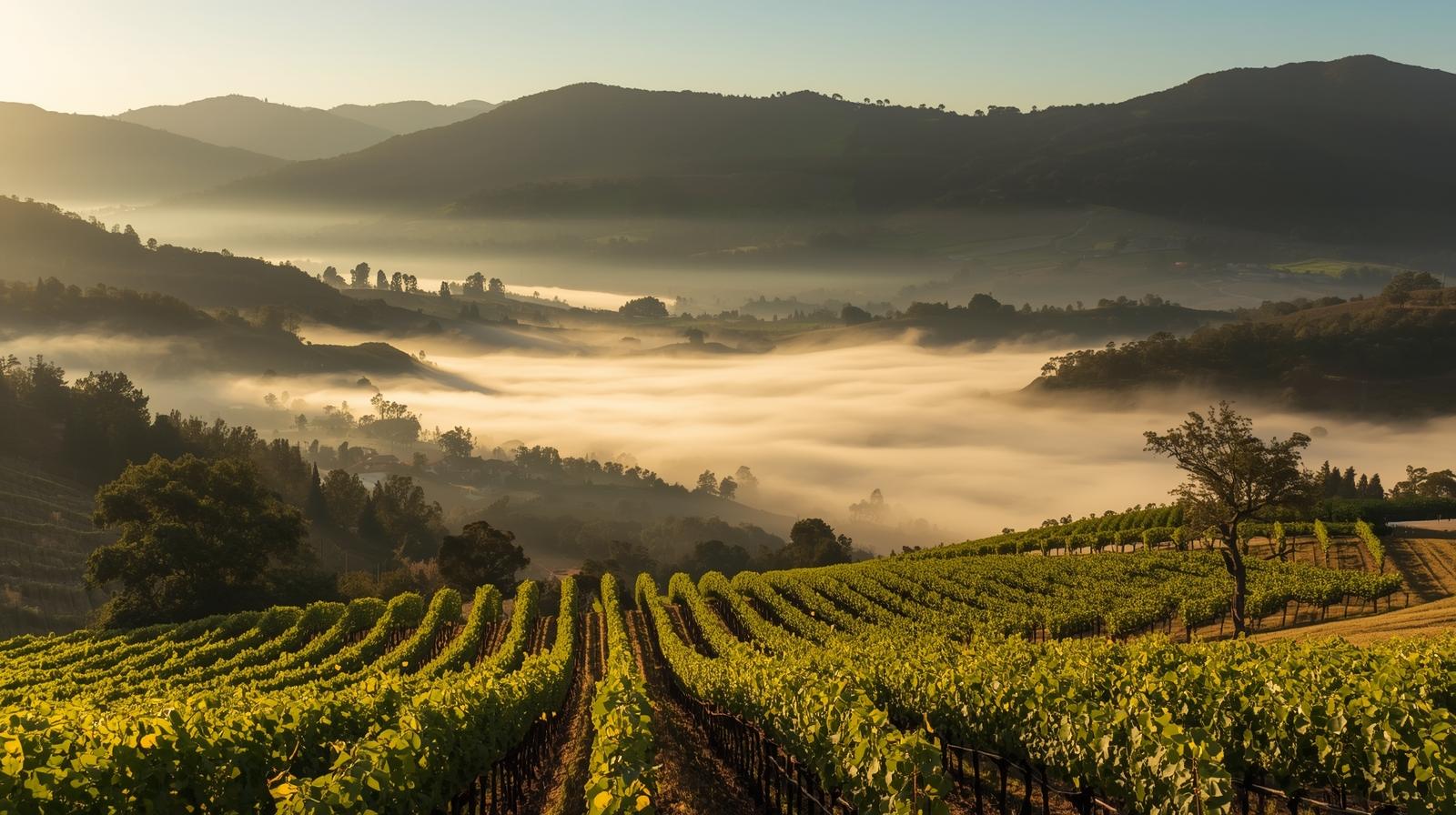
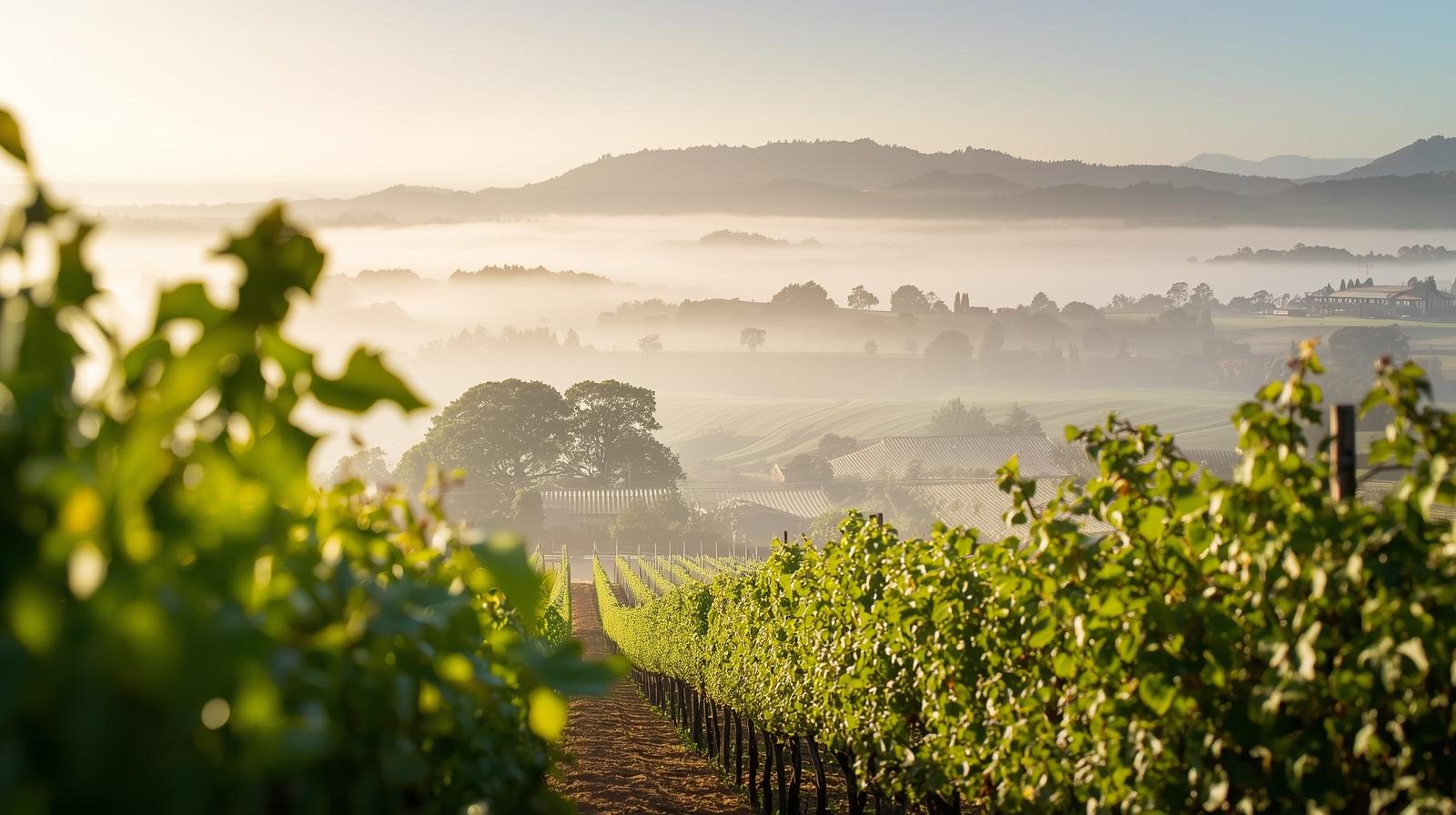
Stand on the eastern edge of Silverado Trail just after sunrise and look west toward the Mayacamas.
You will see it almost immediately.
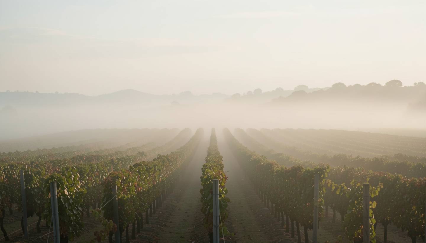
A defined fog line sitting low across the valley floor, thicker near Oakville and Rutherford, while the slopes of Spring Mountain are already clear and warming. It looks like a shoreline made of air.
That fog line is not poetic. It is operational.
Napa Valley microclimates shape everything here. What gets planted. When fruit is picked. How Cabernet develops structure. Why Pinot Noir thrives in Carneros but struggles in Calistoga.
If you are studying Napa microclimates and weather patterns, this thirty mile corridor from Carneros to Calistoga is one of the most compact climate laboratories in the world.
What This Experience Is Really About
Napa microclimates are driven by three primary forces:
- Marine influence from the south
- The Mayacamas and Vaca ranges forming a north south corridor
- Elevation and cold air drainage
As the valley warms during the day, rising heat in the north pulls cool marine air inland. This creates a conveyor of fog and wind that moves through Carneros and up toward Oakville and Rutherford.
By late afternoon, temperatures peak. By evening, cold air drains down from the hillsides and settles near the Napa River.
This daily swing is the diurnal shift.
It is the reason vineyard climate Napa style produces wines with both ripeness and acidity.
A Short Personal Story
There is a vineyard block on the western side of Oakville where I have stood during late afternoon and watched the marine layer roll in like a tide.
You see the gray band first. Then you feel it.
The temperature drops quickly. Leaves flutter differently. The air softens.
I am biased. I live and build here.
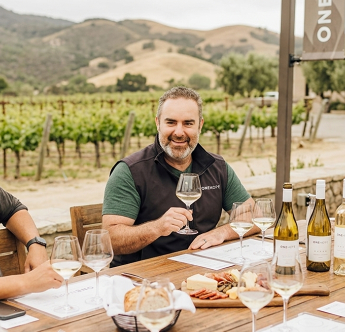
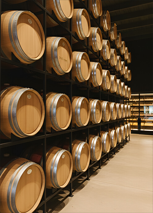
But moments like that remind me that wine is simply weather translated into fruit. At Estate 8, we pay close attention to those subtle shifts. Harvest decisions are often made by standing in the vineyard and feeling the air, not just reading a lab report.
Napa microclimates are not theory. They are tactile.
The Geography of Napa Microclimates
Carneros: The Southern Gate
Near Highway 12 at the Napa Sonoma border, Carneros feels exposed.
Wind from San Pablo Bay moves through open marshland. Fog lingers longer into the morning. Temperatures remain cooler.
This climate supports:
- Pinot Noir
- Chardonnay
- Sparkling wine
Drive through Carneros at sunrise and notice the shorter vine canopies and constant breeze. The vineyard climate Napa style begins here with restraint.
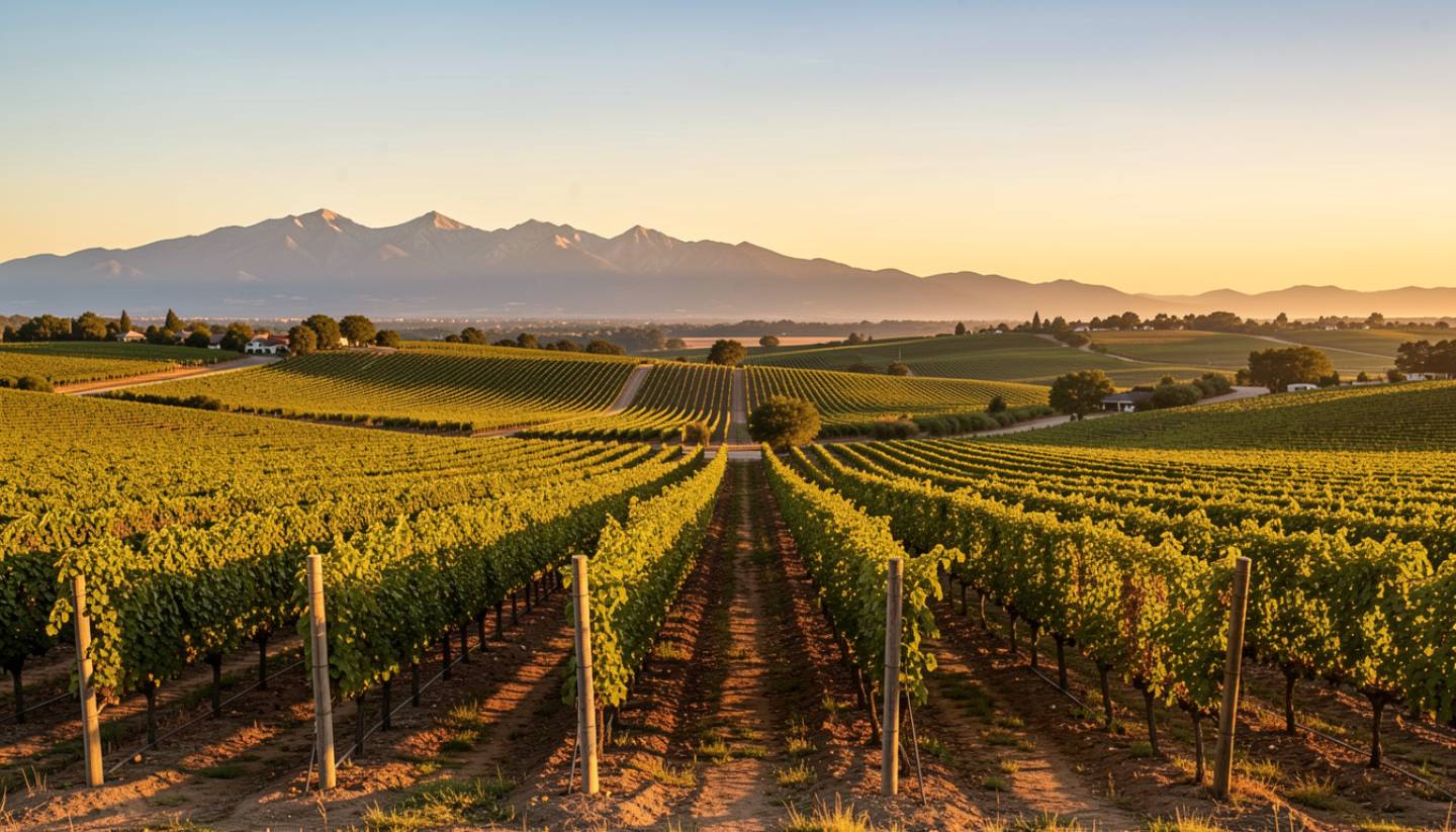
Oakville and Rutherford: The Benchlands Balance
As you move north along Silverado Trail, the fog begins to burn off by mid morning.
Rutherford and Oakville sit in what I call the golden middle. Warm enough to ripen Cabernet fully. Cool enough at night to preserve structure.
Look for:
- Gravelly soils warming quickly after sunrise
- A visible fog line early in the day
- Balanced vine growth
Rutherford Dust is more than soil. It is the interplay between sun exposure, airflow, and gravel that retains just enough heat.
St. Helena: The Transitional Zone
St. Helena warms more consistently in the afternoon.
The valley widens slightly. Wind influence softens. Heat retention increases.
This area supports:
- Cabernet Sauvignon
- Zinfandel
- Bordeaux varietals
If you are comparing AVA differences Napa visitors often overlook, spend one afternoon in Oakville and the next in St. Helena. You will feel the shift.
Calistoga: The Northern Heat Pocket
At the base of Mount St. Helena, Calistoga is the warmest section of the valley.
Daytime temperatures can be significantly higher than Carneros on the same day. Yet nighttime cooling remains dramatic due to elevation and air drainage.
The result is bold structure paired with strong acid retention.
Calistoga wines often reflect that contrast.

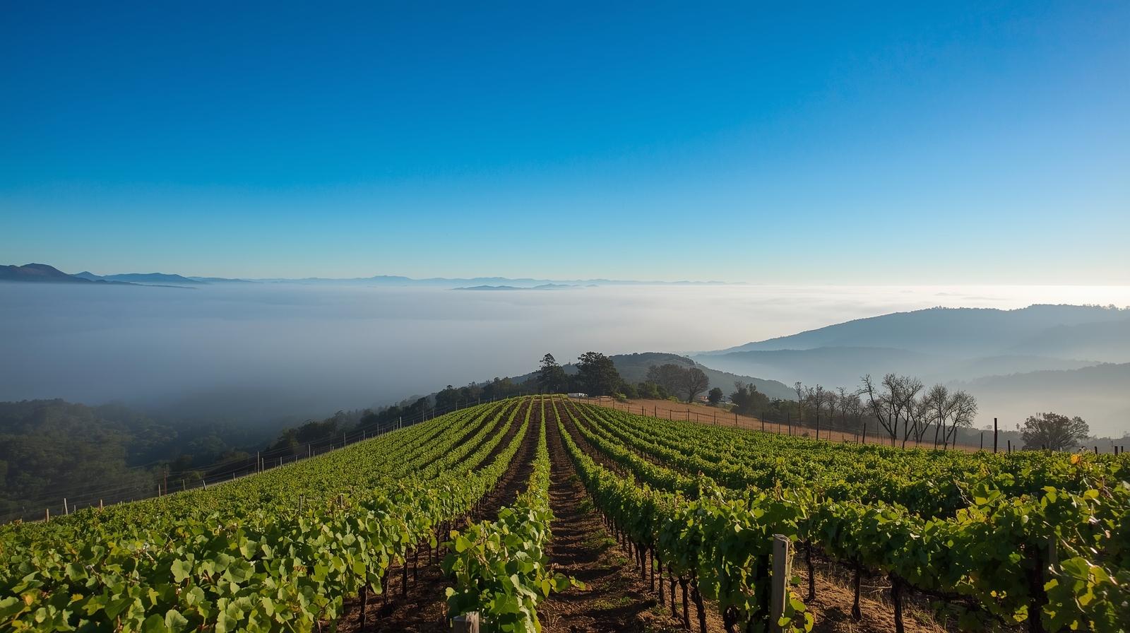
Above the Fog: Atlas Peak and Spring Mountain
Climb above 1,200 to 1,400 feet on Atlas Peak or Spring Mountain and you enter another world.
You are now above the fog line Napa Valley growers monitor closely.
Here you will find:
- Greater UV exposure
- Thicker grape skins
- Stronger wind patterns
- Faster drainage after rain
Standing on a hillside terrace looking down at fog pooling on the valley floor below is one of the clearest visualizations of Napa microclimates you can experience.
Observing Weather Patterns as a Visitor
If you want to study Napa Valley weather patterns firsthand:
- Wake before sunrise and drive Silverado Trail
- Start in Carneros and drive north to Calistoga in one afternoon
- Visit a hillside winery above St. Helena
- Ask winery hosts how fog influences picking decisions
Microclimates shape itinerary timing as much as they shape wine.
At ONEHOPE and Estate 8, understanding daily temperature shifts informs not only vineyard work but guest experience timing. Even hospitality responds to weather here.
Microclimate Focused Napa Itinerary
One Day Climate Tour
Sunrise in Carneros
Feel marine air and wind influence.
Midday in Oakville or Rutherford
Observe fog retreat and balanced warmth.
Afternoon in Calistoga
Experience peak valley heat and geothermal energy.
Sunset on Spring Mountain
Look down at fog rolling back in across the valley floor.
Weekend Deep Dive
Day One
Carneros morning walk.
Oakville Cabernet tasting focused on structure.
Day Two
St. Helena comparison tasting.
Atlas Peak or Spring Mountain hillside visit to study elevation impact.
Layer geography with sensory experience.